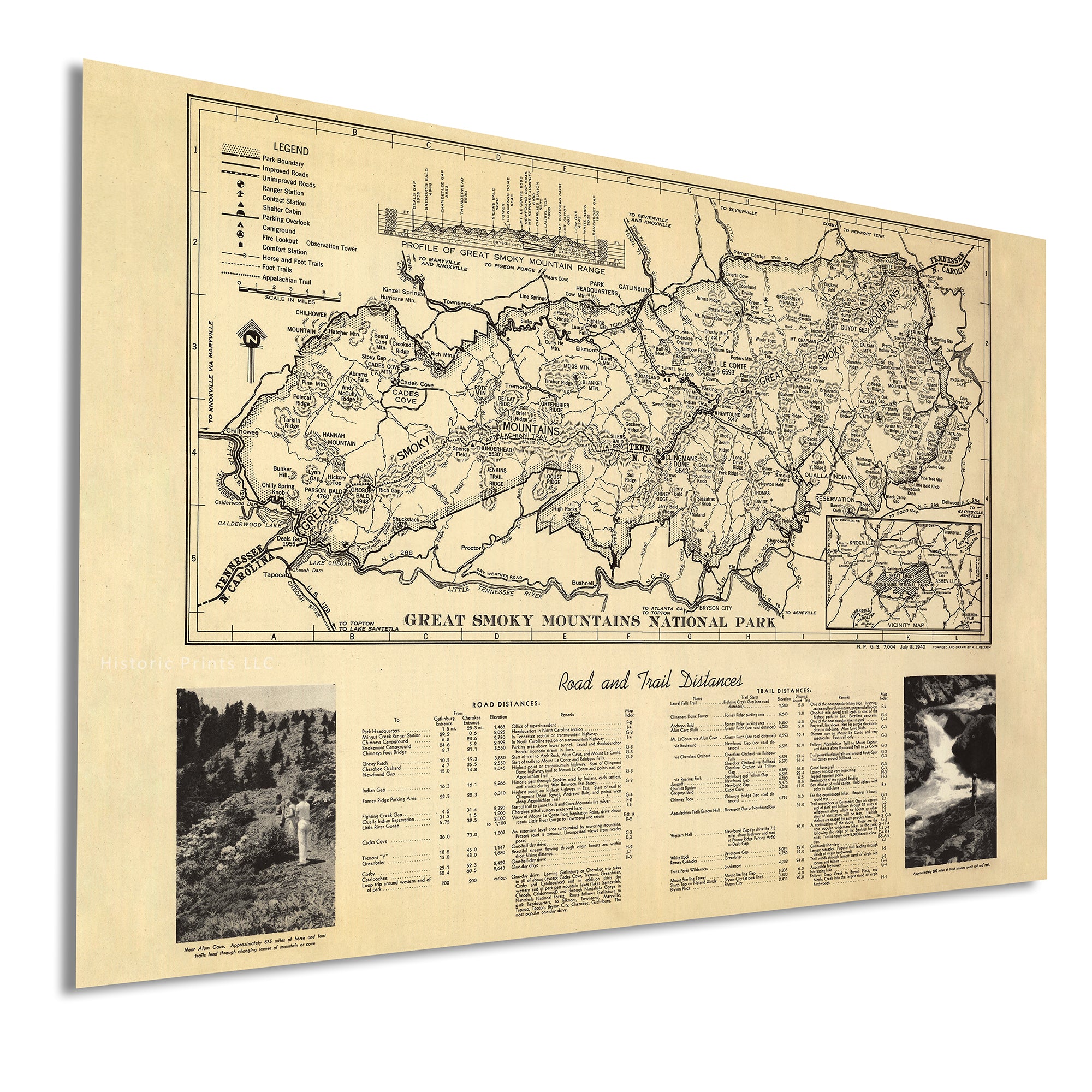


Old Great Smoky Mountains National Park Map store Art Print, 1931/1978, Archival Reproduction, Set of 3 Prints, Unframed
Archival print reproduction of a vintage map of Great Smoky Mountains National Park by the U.S. Geological Survey based on the 1978 reprint of the 1931 edition. Shows numerous details, including roads, trails, rivers, elevation markings, and elevation contour lines.
MEDIUM: Art print
PAPER: 100% cotton, museum quality, heavyweight, matte finish
INK: Archival pigment inks
SIZE: 16x20 inches per print
This map is sold as a print set split into 3 individual prints. Each print is sized to fit perfectly in a 16x20 inch frame without a mat. This map was formerly offered as a set of 2 or 8 prints. If you're interested in store the version with 2 or 8 prints, send me a message and I can make those available for you.
PLEASE NOTE: Frames are not included.
Browse all NATIONAL PARK maps in our shop:
https://www.etsy.com/shop/BlueMonocleMaps?section_id=16928433
Browse ALL prints in our shop:
https://www.etsy.com/shop/BlueMonocleMaps